
 |
|
|
|||
|
|||
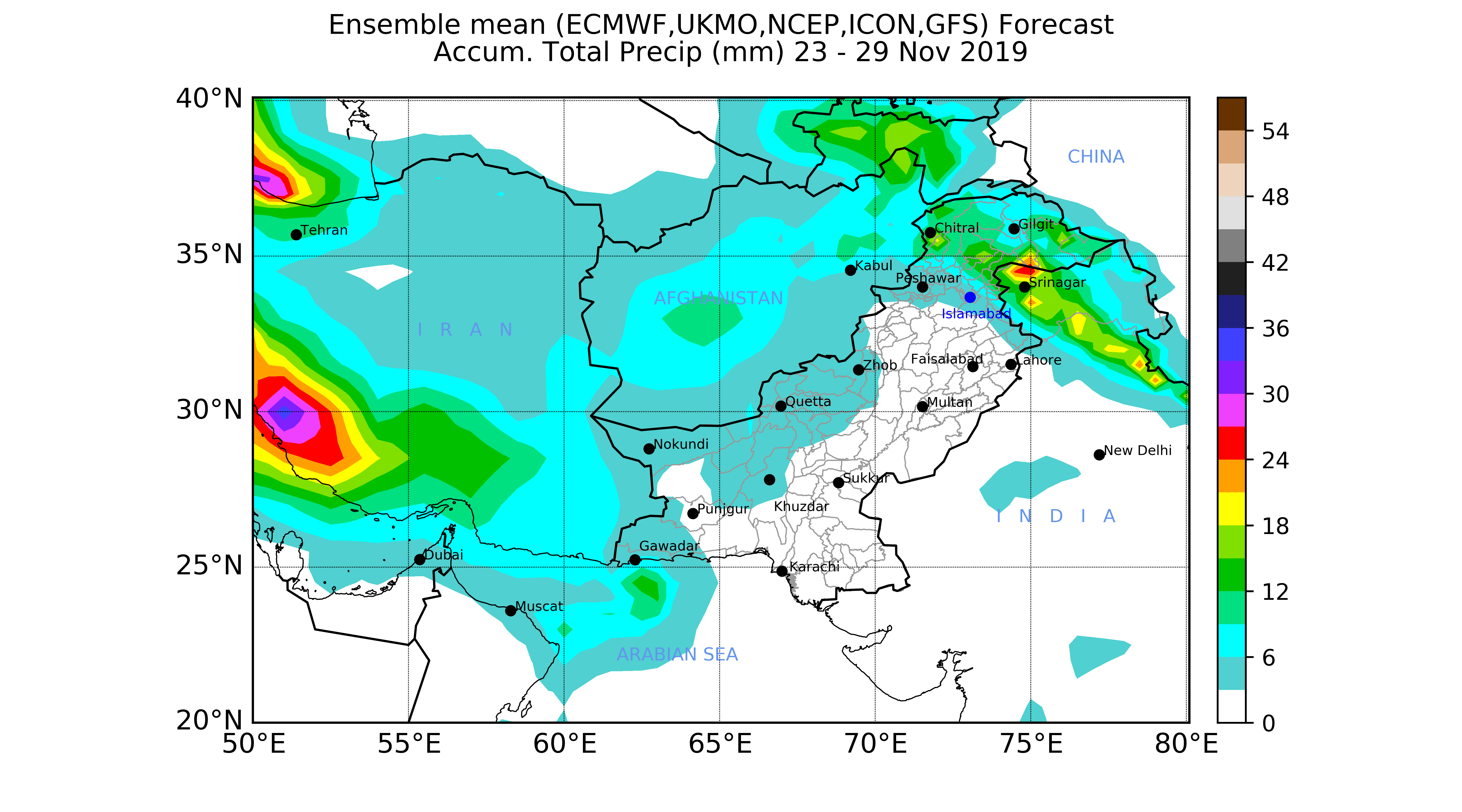
Weekly Accumulated RainfallUpdated on 20th November, 2019
A fresh westerly trough is prevailing over Iran at all upper levels and has been affecting western and upper parts of Pakistan with cloudy conditions. The eastern part of the trough is causing warm air advection from the southwest and is likely to trigger atmospheric baroclinicity in the western and northern parts of Pakistan. This western disturbance may cause rain/thunderstorms at few places in the western and upperparts with snowfall (at high mountains) during the next 2 to 3 days. The day temperatures are likely to drop significantly during the next 3 to 5 days in most parts of the country.
In case of any suggestion, Please contact to Dr. Kamil Shahzad R & D. kamilcheema@gmail.com
|
 |
||||||||||||||||||||
| ||||||||||||||||||||
| Copyright ©2019 Pakistan Meteorological Department All rights reserved. | ||||||||||||||||||||